
SHIPMATE SHIPPING AGENCY
Email : hello@shipmate.id
Phone : 0811-1112-8895
Ruko Permata Niaga, Batam Central
Gedung XI Axiata Tower. Jl. Hr Rasuna Said X5 Kav 11-12 12950 DKI Jakarta
Gedung XI Axiata Tower. Jl. Hr Rasuna Said X5 Kav 11-12 12950 DKI Jakarta
KUALA TANJUNG PORT INFO
PORT INFORMATION
| LOCATION |
Latitude : 03° 23’ 30” N Longitude : 99° 30’ 00” E |
| ANCHORAGE |
Position : 275°, 1.2 miles from No. 3 Light Staff (F1. R.6 Sed.). Sea Bottom : Clayely and silty sand Note : That the seabed in the northeast part of burnt dead consists of rock and corals, then that area is not good for anchors. |
| CHART | Indonesian Chart : No 341 |
| LOCAL TIME | Western Indonesia Time : GMT (+) 7 hours |
JETTY
| DIMENSION OF THE JETTY |
Berth A Length (m): 200 Width (m): 19 Depth (m): 11.6 Live Load (Ton): 2 Berth B Length (m): 150 Width (m): 30 Depth (m): 12 Live Load (Ton): 3 |
| CAPACITY OF THE JETTY |
Berth A DWT: 35000 MT LOA: ≥179.90 Breath: ≥28.4 Draft: 10.8 Berth B DWT: 25000 MT LOA: ≥157 Breath: ≥23 Draft: 9.2 |
| DIMENSION OF PNEUMATIC UNLOADER |
There are two pneumatic unloaders on A jetty and each unloader has two suction nozzles with designed maximum unloading capacity of 150MT/hour and other dimensions are as follows: Outreach from the face of the jetty: 19.4 m Clear height above the jetty: 13 m Traveling distance: 175 m |
| LOADING FACILITIES | For the smooth loading of the company’s products, it provides loading facilities in the form of trucks, trailers and forklifts. |
BERTHING
| BERTHING AND UNBERTHING |
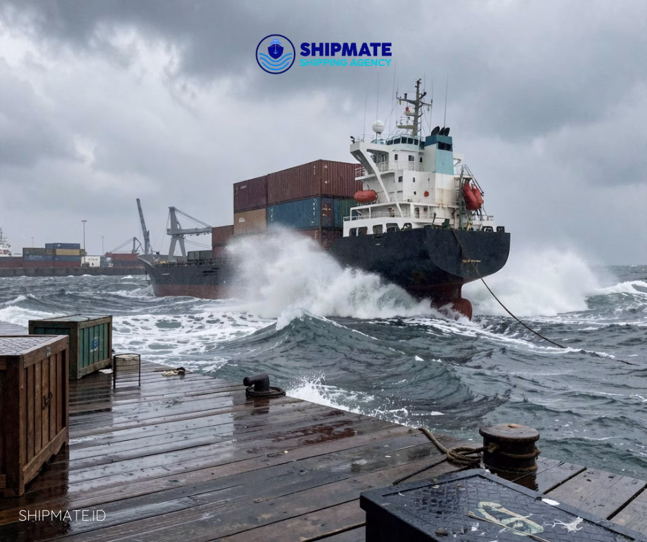
Timing : Timing of berthing and unberthing Available for 24 hours under good sea and weather condition except when the wind velocity is more than 9m/sec and sea condition is unfavourable. Pilotage : Pilotage Pilotage is compulsory in this port with assistenance from the Terminal. Tug boat Decree of The Minister of Transportation No. PM 93 Of 2014 about the supporting facilities and Pilotage of the ship:
about Pilotage.:
|
NAVIGATION
| SCALE OF SURVEY (1:5,000) |
A : 03° 24’ 40” N - 99° 28’ 00” E B : 03° 21’ 40” N - 99° 27’ 00” E C : 03° 21’ 00” N - 99° 29’ 00” E D : 03° 24’ 00” N - 99° 30’ 00” E |
| SCALE OF SURVEY (1:25,000) |
A : 03° 33’ 30” N - 99° 23’ 20” E B : 03° 24’ 30” N - 99° 23’ 20” E C : 03° 24’ 30” N - 99° 23’ 20” E D : 03° 20’ 30” N - 99° 23’ 20” E E : 03° 33’ 30” N - 99° 23’ 20” E F : 03° 33’ 30” N - 99° 23’ 20” E G : 03° 33’ 30” N - 99° 23’ 20” E H : 03° 33’ 30” N - 99° 23’ 20” E I : 03° 33’ 30” N - 99° 23’ 20” E |
| NAVIGATIONAL AIDS |
No. 2 Light Buoy (has been granted to the government) Position : 03° 24’ 12” N - 99° 38’ 10” E Color : Green Character : F1.G.5 sec Range : 5 nm Accessory : Radar reflector No. 3 Red Light Staff (has been granted to the government) Position : 03° 23’ 10” N - 99° 29’ 26” E Color : Green Character : F1.G.5 sec Range : 5 nm Accessory : Radar reflector No.3 Lights Jetty Position : 03° 22’ 21” N - 99° 28’ 08” E Color : White Character : GP.F1.(3) W.9 sec Range : 5 nm Accessory : Radar reflector and morse code signal “D” |
TIDE & CLEARANCE
| TIDE |
Middle position : 1.5 meters above the surface of the map Highest water position : 3.1 meters above the surface of the map Lowest water position : same as the face of the map |
| TIDAL CURRENT | Tidal currents are dominant is this area. The average direction of tidal currents is 135 when it rises and 315 when it recedes, with a velocity of about 1.5 knots when the water rises (from a survey by the department of Hydro Oceanography). |
| CLEARANCE | Government officials such as Quarantine, Immgration, Sea Transportation (head of port) and Customs and Excise are ready to serve to community except national holidays, however services can be carried out on holiday with overtime calculations. Government agency working hours: Mon ~ Thurs: 08.00 ~ 16.00 Friday : 8: 00 ~ 12: 00 |
| SUPPLY FRESH WATER | AVAILABLE (Prices are based on Port Business Entities). |